A hidden crisis is becoming legible
Landslides and avalanches are often perceived as abrupt natural disasters, events that arrive without warning and leave little room for preparation. What this reporting shows, however, is that the apparent suddenness can be misleading. In many cases, the earth begins to move long before collapse, shifting by millimetres, separating grain by grain, and leaving behind patterns that escape ordinary observation. AI is becoming valuable not because it replaces geology, but because it can detect these faint precursors at a scale no human team could realistically manage.
Table of Contents
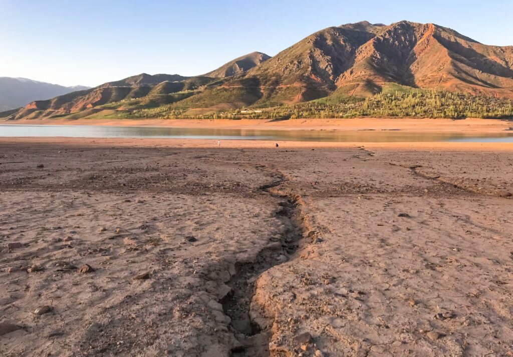
That makes the technology especially consequential in places such as Nepal, where steep terrain, fragile infrastructure and climate pressures combine to create persistent risk. In the village of Kimtang, researchers using radar satellite imagery and machine learning identified a highly unstable zone directly beneath homes and farmland. The analysis did not merely visualise danger; it reframed the village’s situation. A relocation site chosen after an earlier landslide appears, according to the researchers’ assessment, to sit on the most unstable part of the wider area. What looks like safety on the surface may, in geological terms, be a temporary illusion.
Why machine learning matters in unstable terrain
The strength of these systems lies in their ability to process enormous quantities of radar and optical data while being guided by physical models of slope failure. Researchers are not handing the problem to a generic algorithm and hoping for the best. Instead, they are combining machine learning with domain knowledge about how hillsides deform, how stress accumulates and how collapse unfolds over time. That distinction matters, because it places AI in a more disciplined role: not as an oracle, but as an analytical instrument shaped by scientific understanding.
This approach is already changing what is feasible. In Great Britain, researchers analysing Sentinel-1 imagery have assessed around 300,000 slopes and identified 3,000 that are actively moving. Those movements are often too small to notice directly, yet they can still threaten roads, railways and nearby communities over time. The importance of AI here is practical as much as scientific. Tasks that would take humans months or years can now be completed in hours, allowing geologists to move from isolated case studies to territory-wide risk mapping.
From crisis response to preventive planning
The most compelling aspect of the technology is that it can support decisions before disaster strikes. In Nepal, the analysis has helped researchers engage with villagers, identify safer gathering points and discuss evacuation planning with officials. A high school, for example, appears to stand on one of the more stable sections of the slope. This is a modest insight on paper, but in an emergency it could become the difference between confusion and coordinated action. AI’s usefulness is therefore not abstract. It gains meaning when it informs where people shelter, which routes remain viable and how local authorities prepare for the worst.
The same logic applies after an event has already occurred. British Geological Survey researchers used AI to map more than 4,000 landslides across Sumatra following deadly slope failures, giving Indonesian authorities an early picture of the distribution of damage. In infrastructure management, Network Rail is applying AI-enabled analytics to sensor data, drone surveys and inspections to identify landslip risks across Britain’s rail network. In each case, the pattern is similar: AI does not eliminate uncertainty, but it sharpens situational awareness when speed and scale are decisive.
The promise is real, but so are the limits
Avalanche detection offers a useful reminder that this progress remains imperfect. Researchers in Switzerland trained a deep learning system on thousands of manually labelled webcam images from the Alps, enabling it to identify avalanche events automatically. The concept is powerful, especially for regions already saturated with visual monitoring infrastructure. Yet field trials in Austria also revealed a familiar weakness of applied AI: too many false positives, including misidentification of exposed rocks as avalanches. The lesson is not that the technology has failed, but that operational systems still require human oversight, validation and institutional caution.
Even so, the broader direction is hard to ignore. As climate change destabilises mountain environments and human activity places more communities in exposed terrain, the demand for early warning will only grow. At the same time, these tools may also help correct overly cautious assumptions, as in Medellín, where machine learning suggests some restricted building areas may be safer than previously believed. The deeper significance of this work is that AI is making the ground beneath us more intelligible. It is revealing that landscapes we tend to regard as fixed are, in fact, always in motion — and that seeing this motion sooner may become one of the most important forms of resilience available to vulnerable communities.
Author:
Jan Bielik
CEO & Founder of Webiano Digital & Marketing Agency