Most people talk about travel AI as if it arrived with chatbots, trip planners and prompt boxes. That story is neat, current and mostly wrong. AI has been shaping everyday travel for years, often in a form so practical that people stopped seeing it as AI at all. The moment a navigation app told you when to leave, warned you about a hazard ahead, or moved you off the obvious road because the machine expected traffic to worsen before you got there, the future had already arrived. Waze built that habit early with real-time alerts, departure timing and live rerouting, while Google Maps later described the machine-learning system behind traffic prediction in unusually direct terms.
Table of Contents
The real breakthrough happened on the road
The deepest misunderstanding around AI in travel is that people imagine intelligence only when a system speaks in sentences. That is a narrow definition, and not a very useful one. In practice, the first mass-market success of travel AI was not a conversational assistant. It was continuous prediction and recommendation: a system watching live conditions, comparing possible routes, estimating arrival times and nudging millions of drivers toward one decision instead of another. Waze made that feel ordinary. Google Maps industrialized it at enormous scale.
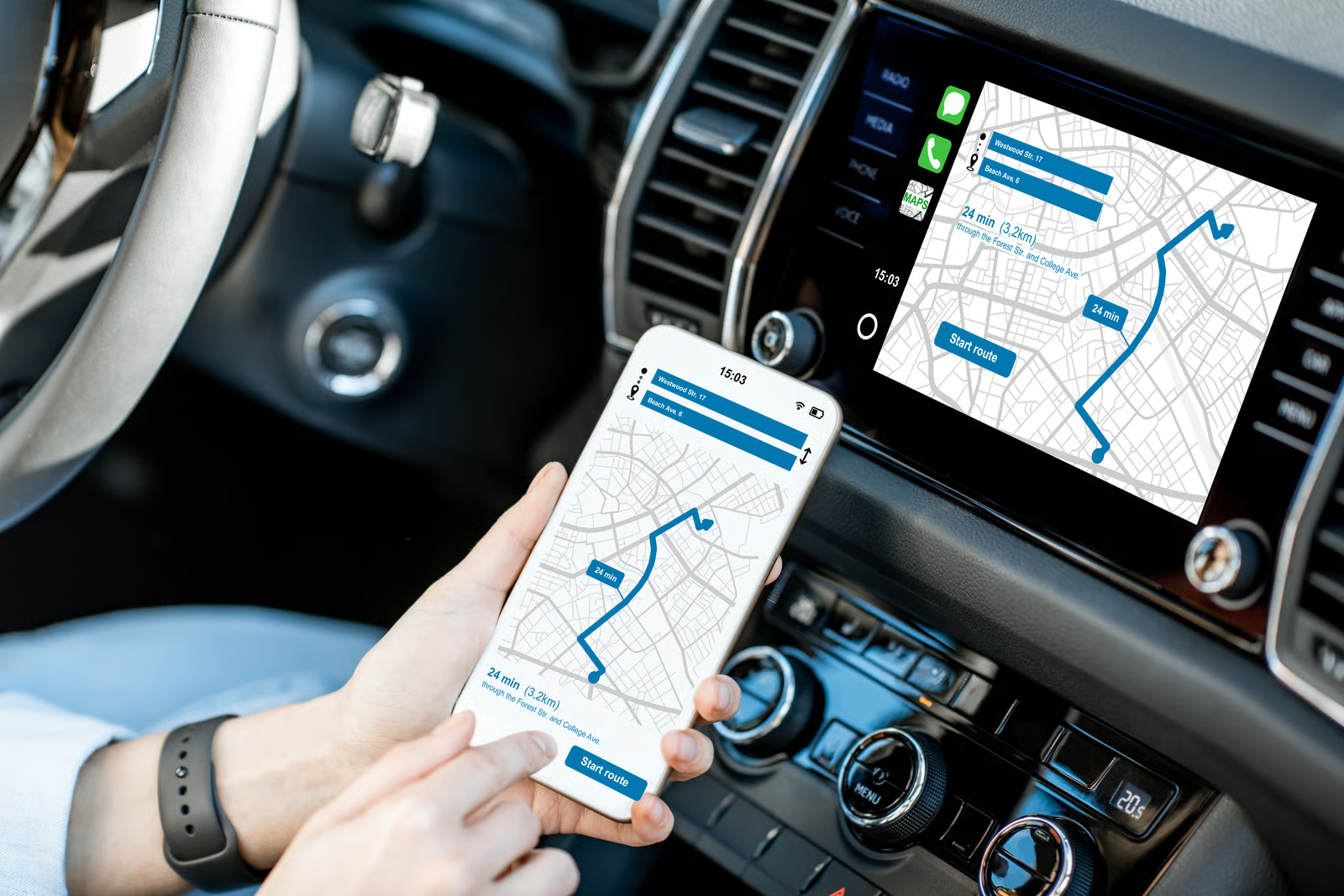
That matters because travel planning is not one decision. It is a chain of micro-decisions. Should you leave now or in twelve minutes. Stay on the motorway or cut through side streets. Accept a toll to save time. Stop for fuel or keep moving. Park here or circle once more. Waze’s own product language is revealing on this point: it promises real-time traffic alerts from fellow drivers, tells users when to leave, reroutes them in real time and even frames the drive around traffic before the trip starts. Its ETA system is based on the average speed of Wazers on a specific route and also accounts for traffic conditions and irregular events such as accidents or hazards. That is not static map-reading. That is live computational judgment.
Why Waze changed the psychology of navigation
Waze’s real innovation was cultural as much as technical. Before live navigation became normal, drivers often treated directions as a fixed plan. You looked up the route, memorized the main turns and hoped the road would cooperate. Waze trained people to accept a different relationship with movement. The route was no longer a plan. It was a negotiation. The app could rewrite it mid-journey because reality had changed. A better path might appear two minutes later. An accident might erase the “best” road before you reached it. The driver stopped being the only planner and became a participant in a live feedback loop.
That loop was powered not only by code but by collective behavior. Waze still leans heavily on community input, and that is part of why the product mattered so much in the history of travel AI. The system did not simply calculate in isolation. It absorbed signals from other drivers and folded them into recommendations. In 2024, Waze also expanded the idea of route choice by making it easier for users to compare usual routes with alternate ones using live traffic updates and delays along the way. The point was no longer just to find one official answer. It was to help users choose among competing options under changing conditions.
The hidden intelligence inside modern maps
Google Maps made the computational layer even more explicit. In 2020, Google said Maps predicts near-future traffic by combining historical traffic patterns with live traffic conditions through machine learning. It also said ETA predictions were consistently accurate for more than 97% of trips, and that work with DeepMind improved the system further through graph neural networks in several major cities. That is a remarkably clear statement of what modern navigation had already become: not a digital atlas, but a prediction engine built on live data, statistical patterns and machine-learning inference.
Once you see that, the map itself starts to look different. A modern mapping product is not only choosing a line between two points. It is trying to maintain a self-updating model of the world. Google has described using AI and imagery to keep map information current, including machine-learning models that flag likely errors in business hours and systems that combine imagery and AI to update information such as speed limits. In other words, the intelligence is not confined to the route recommendation. It reaches into the underlying representation of the road network and the places connected to it.
From fastest route to best route
The next important shift was from speed to tradeoffs. Early digital navigation often behaved as if the only serious metric was arrival time. That is useful, but thin. Real travel decisions are richer than that. A slightly slower route may be less stressful. A tolled route may be worth it for one driver and absurd for another. A fuel-efficient route may save money and emissions. A route with better parking may beat a route that gets you near the destination but leaves you stranded in the last 300 meters. Today’s map products are moving steadily in that direction.
Google has said it uses an AI prediction model to estimate expected fuel or energy consumption for each route option and recommends the one predicted to consume the least fuel or energy when the time penalty is small. In March 2026, Google also described a broader navigation upgrade in which Maps shows tradeoffs for alternate routes, such as a longer trip with less traffic or a faster one with a toll. The same update says Maps now incorporates more than 5 million traffic updates every second worldwide and receives more than 10 million community contributions a day about disruptions such as crashes and construction. That is the real shape of travel AI in 2026: not a single instruction, but an ongoing optimization of cost, time, friction, safety and context.
Why people still underestimate this as AI
People often reserve the word AI for systems that feel theatrical. They want a voice, a generated paragraph, a chatbot persona, maybe a bit of synthetic charm. Navigation systems usually do something more disciplined. They disappear into utility. They do not ask to be admired. They simply become trusted. That invisibility is exactly why their achievement is easy to miss. Waze and Google Maps did not need to persuade the public with a grand theory of artificial intelligence. They persuaded people with one humble promise: get there better than you would alone.
There is also a class bias in how technology gets discussed. Glamorous AI is associated with white-collar work, creativity, writing and decision support. Driving seems mundane by comparison. Yet navigation may be one of the most consequential places AI entered daily life, because it changed behavior at scale. It altered departure times, route choices, fuel usage, exposure to congestion and even how cities experience traffic flow. Google Maps now says it provides more than 20 billion kilometers of directions every day, which is a reminder that the quiet systems are often the ones with the widest social footprint.
The next chapter is conversational but the logic is older
What is new is not the existence of travel AI but its interface. Google’s latest direction is to make travel planning conversational. In March 2026, Google introduced Ask Maps, describing it as a way to ask complex real-world questions and receive answers with a customized map. The company said this experience draws on information from more than 300 million places, including reviews from a community of more than 500 million contributors globally. That is a significant leap in usability, but it is still an extension of the same old ambition: compress the messiness of the real world into decisions a person can act on quickly.
The same pattern appears in navigation itself. Google’s recent Maps updates describe landmark-based guidance powered by Gemini, proactive traffic alerts before a user is actively navigating, and Gemini in navigation for walking and cycling as well as driving. Waze, meanwhile, added conversational reporting in 2024 so drivers could speak naturally to report incidents, with Gemini capabilities helping the app understand and turn those spoken reports into real-time map updates. The interface is getting more human, but the underlying story remains consistent. First came prediction. Then optimization. Now comes conversation layered on top.
The strongest way to understand this is simple. Travel AI did not begin by writing itineraries. It began by winning trust one reroute at a time. Waze taught millions of people to outsource tiny route decisions to a machine that knew more than any one driver could know alone. Google Maps expanded that model into large-scale machine learning, richer tradeoffs and a deeper, more dynamic understanding of the world behind the map. Chatbots may make travel AI more visible, but they are arriving late to a reality that has already been on the road for years. The real story is not that AI is suddenly planning our trips. It is that we have been letting it do exactly that for a long time, and in many cases, we no longer want to drive without it.
Author:
Jan Bielik
CEO & Founder of Webiano Digital & Marketing Agency

Sources
Google Maps 101 How AI helps predict traffic and determine routes
Google explains how Maps combines historical traffic patterns with live conditions through machine learning and describes its ETA prediction work with DeepMind.
https://blog.google/products-and-platforms/products/maps/google-maps-101-how-ai-helps-predict-traffic-and-determine-routes/
Driving Directions & Traffic Reports by Waze
Waze’s official product page describing real-time alerts, departure timing, live rerouting and scheduled drives around traffic.
https://www.waze.com/waze/
How Waze calculates ETA
Waze help documentation explaining that ETA is based on the average speed of Wazers on a route and adjusted for traffic and hazards.
https://support.google.com/waze/answer/10048723?hl=en-GB
How AI and imagery build a self-updating map
Google explains how AI and imagery help keep map information current, including business hours and road information.
https://blog.google/products-and-platforms/products/maps/how-ai-and-imagery-build-self-updating-map/
New ways Google is helping reduce transportation and energy emissions
Google describes its AI prediction model for estimating fuel or energy consumption across route options.
https://blog.google/company-news/outreach-and-initiatives/sustainability/google-transportation-energy-emissions-reduction/
Ask Maps and Immersive Navigation New AI features in Google Maps
Google’s March 2026 announcement covering Ask Maps, natural guidance, alternate-route tradeoffs, parking help and large-scale traffic updates.
https://blog.google/products-and-platforms/products/maps/ask-maps-immersive-navigation/
Google Maps launches Gemini features including landmark navigation
Google details landmark-based navigation, proactive traffic alerts and reporting disruptions with natural language.
https://blog.google/products-and-platforms/products/maps/gemini-navigation-features-landmark-lens/
Navigate with Gemini in Google Maps while walking or biking
Google’s update on Gemini in navigation expanding beyond driving to walking and cycling.
https://blog.google/products-and-platforms/products/maps/gemini-navigation-biking-walking/